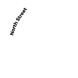
NORTH ST
Owner Information
UPPER CHARLES CONSERVATION INC
PO BOX 654
MEDFIELD, MA 02052


Property Details
NORTH ST is classified as a Vacant, Conservation Organizations (Charitable Org.).
NORTH ST is valued at $485,400. The land is valued at $485,400 and the structures are valued at $0.
This property is in Zone RT. Confirm with local Zoning Board authorities to ensure there are no overlays or other easements on this property.
The most recent deed for NORTH ST is recorded at the local registrar in Book 10782, Page 023. NORTH ST was last sold on Monday, January 9, 1995 for $1.
Assessment data from fiscal year 2022.
Flood Data
According to the FEMA National Flood Hazard Layer, this property does not appear to be in a flood zone. It may also be in an area not yet reviewed. Nonetheless, confirm this information prior to taking any action.
To view the flood hazards around this property, create a FEMA "Firmette" Map of the area around NORTH ST.
Broadband Internet Providers
| Provider | Type | Bandwidth (mbps) | |
|---|---|---|---|
| Comcast | Cable | 1000 | 35 |
| HughesNet | Satellite | 25 | 3 |
| Verizon New England Inc. | Fiber | 940 | 880 |
| Verizon New England Inc. | DSL | 3 | 0 |
| Viasat Inc | Satellite | 100 | 3 |
| VSAT Systems, LLC. | Satellite | 2 | 1 |
| GCI Communication Corp. | Satellite | 0 | 0 |
Broadband service provider data from December 2020.
Adjacent Properties
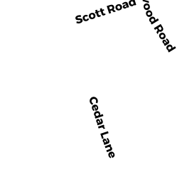
- 15 CEDAR LN
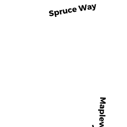
Vacant, Selectmen or City Council (Municipal) owned by TOWN OF MEDFIELD - 16 SPRUCE WAY
Single Family Residential owned by BLANCO ROCK A - 12 SPRUCE WAY
Single Family Residential owned by MURPHY RICHARD J - 1 SCOTT RD
Single Family Residential owned by SHEA ROBERT M - 17 MAPLEWOOD RD
Single Family Residential owned by HARNEY JOHN T - 227 NORTH ST
Single Family Residential owned by MACLEOD IAN R - NORTH ST
Undevelopable Residential Land owned by TAYLOR MICHAEL R. - 243 NORTH ST
Single Family Residential owned by TAYLOR MICHAEL R